Drone photography for real estate in Los Angeles shows a listing from above: the roof, the lot, the yard and the streets around it. Ground photos can’t do that. Aerial photos once meant a helicopter. Now a licensed pilot with a drone gets the same angle as part of a regular shoot. This post covers what aerial photos show, what a drone video adds, and how to put either on your shoot.
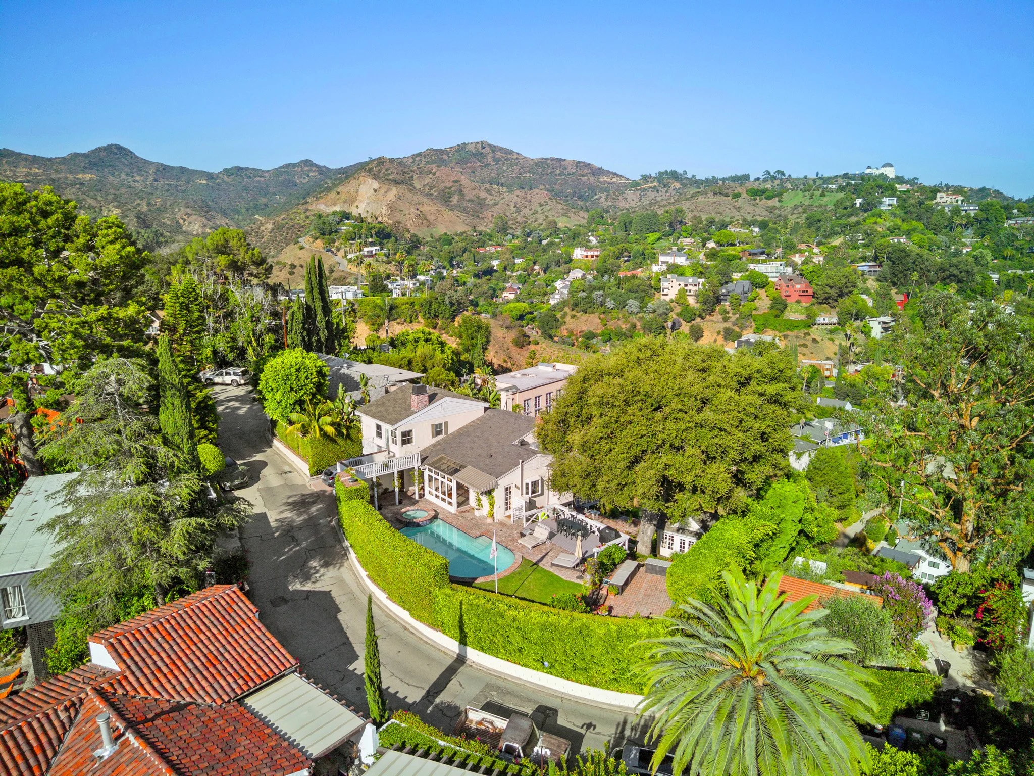
What can drone photos show that ground photos can’t?
A ground photo shows what is in front of the camera. An aerial photo shows how the pieces fit together.
The lot. Where the property starts and stops, how large the yard is and how the house sits on it.
The roof. A new roof is visible from above and invisible from the street.
The outdoor spaces. Pool, deck, patio and green space in relation to the house.
Parking and access. Driveways, street parking and how the property meets the road.
The surroundings. Parks, retail, schools and other conveniences nearby, as they sit around the property.
Aerial photos also show the neighbors and anything else nearby. They show the location as it is. For a property with a good setting, that is the point. For a property with a plain one, they are still more accurate than a description.
Is drone photography worth it for a real estate listing?
It depends on what the property has that the street view hides. Aerial photos earn their place when the property has:
A large or uneven lot
Hillside or view orientation
A pool, yard or outdoor living area behind the house
A setting near parks, retail or other conveniences
A recent roof, solar or other exterior work worth showing
A flat lot on a dense block with a small yard gains less. A set of standard exterior photos already covers what the aerial would show.
Drone photos work as a supplement, not a replacement. The interiors and the street-view exterior carry the listing. The aerial set adds the view from above.
How does a drone photo session work?
Our drone pilots are FAA Section 107 licensed and insured, and they follow city, state and federal regulations. Drone service is confirmed when you book.
Aerial photos can be added to a photo package or ordered on their own. The pilot photographs the property and its surroundings, including the layout, landscaping and nearby amenities.
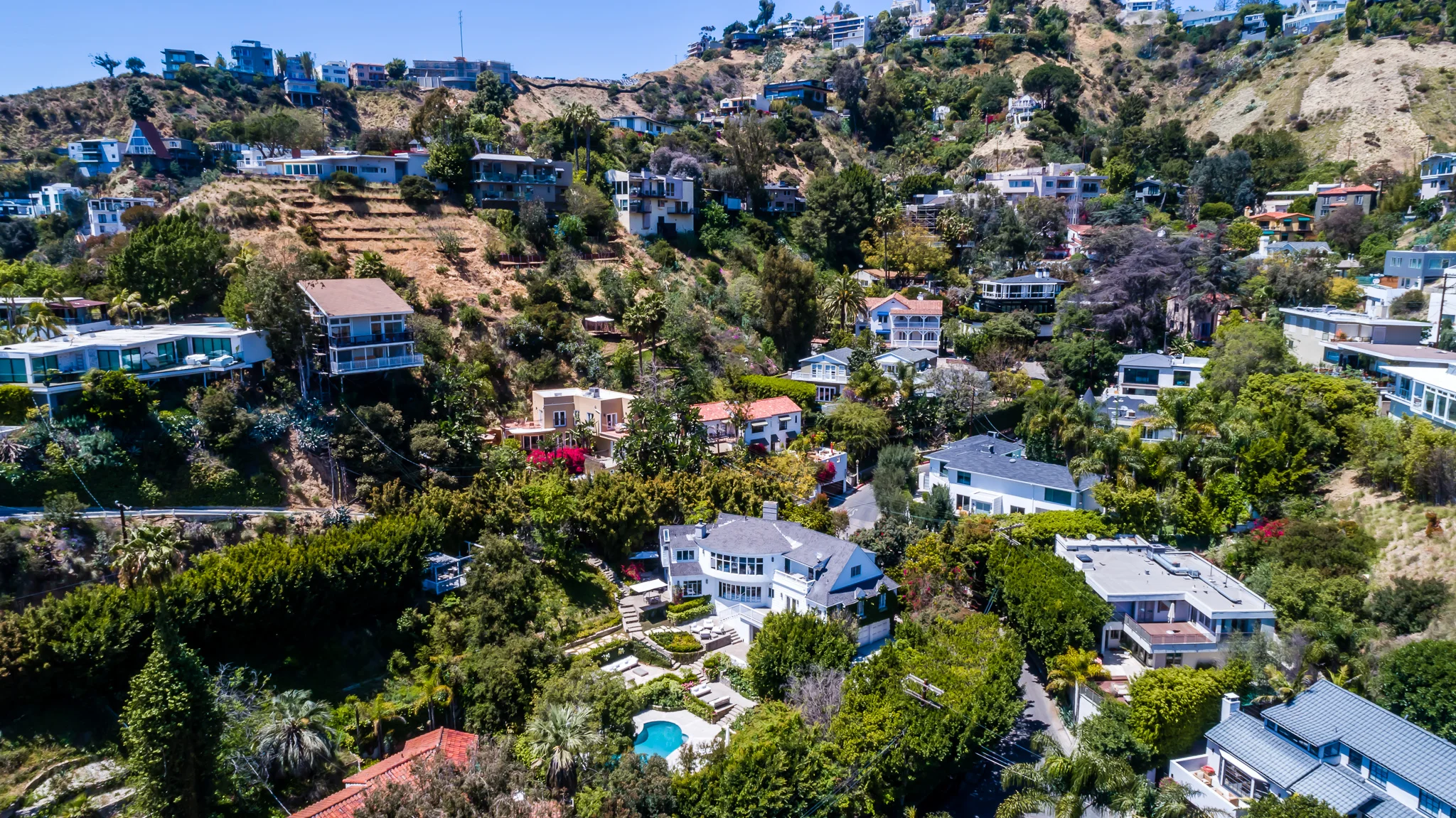
Should you add a drone video?
A drone video adds motion to the same view. It is an aerial overview of the property, edited with background music and transitions, and delivered as an MP4 file ready for Instagram and other social media.
A video suits a listing that will be promoted outside the MLS: an agent’s social feed, a property website, an email to a client list. A property with a long approach, a large lot or a view gets more from video than a standard home. Photos are what most listings need. Video is the add-on for the ones being marketed.
Drone video is available as an add-on to a photo package or on its own. For pricing on both, see the add-on pricing page and the pricing page.
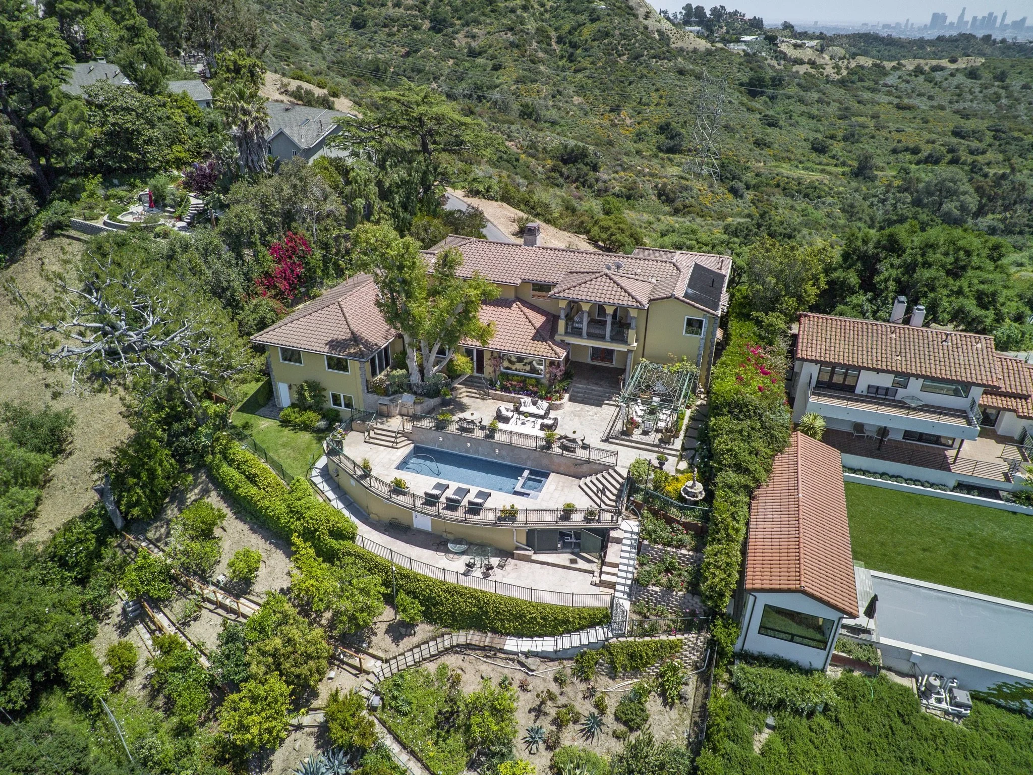
How do you add drone photos or video to your shoot?
Add either one when you book. Tell us if the property has a view, a large lot or other exterior features to show. Our local service area covers every property within 30 miles of Marina del Rey.
See the aerial photography services page and the aerial portfolio for examples, and the drone video services page for what the video includes.
For the dusk version of the exterior, see Going Beyond the Basics with Twilight Photography.
When you are ready, book through the online booking portal.